Uttarapatha: The Northern Trade Highway
India's Ancient Highway to Central Asia
Follow the Uttarapatha, the 'Northern Road', from Pataliputra to Bactria, understanding how this ancient highway connected Indian markets to the Silk Road network.
The Road That Built an Empire
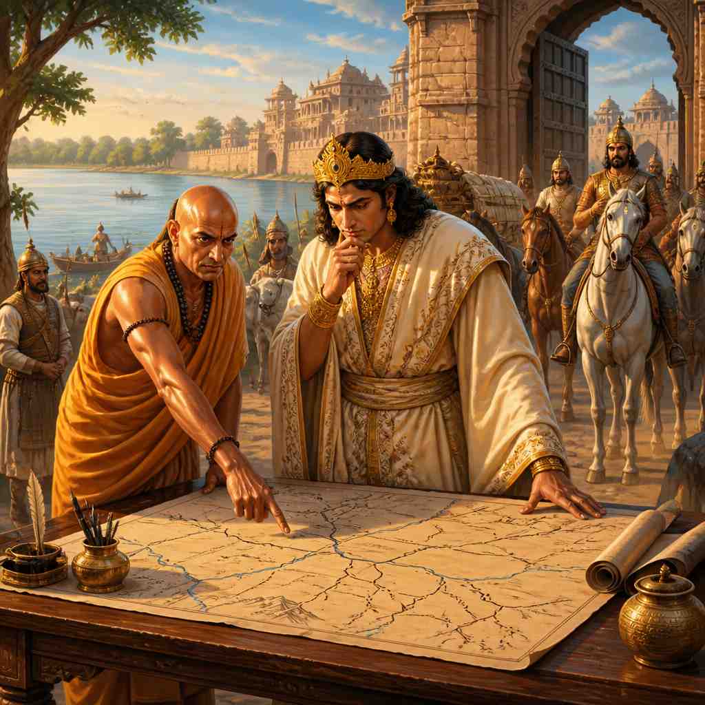
In 322 BCE, Chandragupta Maurya stood at the eastern terminus of the Uttarapatha in Pataliputra (modern Patna), planning his campaign to unite India. The road stretching before him wasn't just a trade route, it was the infrastructure backbone that would bind his empire together.
The Uttarapatha, literally the "Northern Road", ran 2,500 kilometers from Pataliputra on the Ganges to the mountain passes of the Hindu Kush. It was India's connection to the Silk Road, the artery through which goods, ideas, and armies flowed. Control the Uttarapatha, and you controlled India's access to the world.
Chandragupta understood this. Within a decade, his armies would march the entire length of this road, establishing the Mauryan Empire, the first to unite most of the Indian subcontinent.
The Anatomy of an Ancient Highway
The Uttarapatha wasn't a single road but a network of routes, refined over centuries of use. Its main trunk ran:
Pataliputra → Varanasi → Prayagraj → Mathura → Indraprastha (Delhi) → Takshashila → Pushkalavati → Kapisha → Bactria
At each major junction, secondary roads branched off to other commercial centers. From Mathura, roads led south to the Deccan. From Takshashila, routes diverged to Kashmir, to the Indus ports, and westward to Persia.
"उत्तरपथः सर्वेषां वाणिज्यमार्गाणां राजा।" "The Uttarapatha is the king of all trade routes."
This ancient saying recognized what geography had created: India's wealth, from the cotton of Gujarat, the rice of Bengal, the spices of the South, all flowed through this corridor to reach the world.
The Road's Seven Pillars
What made the Uttarapatha function? Ancient administrators identified seven essential elements for a successful trade highway:
1. Royal Maintenance (राजमार्ग - Rajamarga): The road was maintained by the state as a royal highway. The Arthashastra mandated specific road widths: major trunk roads were to be "four danḍa wide" (about 12 meters), wide enough for two carts to pass.
2. Waypoints (विश्रामस्थल - Vishramasthala): Rest houses spaced at intervals of one day's journey provided shelter, food, and fresh animals. These would later evolve into the caravanserais we'll explore in a future lesson.
3. Security Posts (चौकी - Chauki): Guard stations protected merchants from bandits. The Mauryan state considered road security a fundamental duty, banditry was a capital offense.
4. River Crossings (संक्रम - Sankrama): Bridges, ferries, and fords at major rivers. The Arthashastra describes elaborate ferry systems with multiple boats and rope pulleys.
5. Milestones (कोसस्तम्भ - Kosastambha): Stone markers indicating distances helped merchants calculate journey times and transportation costs.
6. Water Sources (जलाशय - Jalashaya): Wells, tanks, and cisterns along the route. In semi-arid regions, water infrastructure determined route viability.
7. Customs Posts (शुल्कस्थान - Shulkasthana): Collection points for tolls and duties, which funded the maintenance of the other six pillars.
The Economics of Distance
Long-distance trade along the Uttarapatha wasn't just moving goods from A to B. It was a complex chain of exchanges, each adding value.
A bale of Chinese silk arriving at Bactria might be purchased by a Sogdian merchant, carried to Takshashila, sold to an Indian trader, processed and dyed, then transported to Mathura where another merchant would buy it for the journey to Bengal. Each exchange added markup; each handler took profit; each jurisdiction collected taxes.
The total markup from China to Rome could exceed 1,000%. But this wasn't exploitation, it was compensation for risk, time, and specialized knowledge. The merchant who knew which routes were safe, which officials could be trusted, which goods would sell where, this knowledge was the real value-add.
Megasthenes' Account
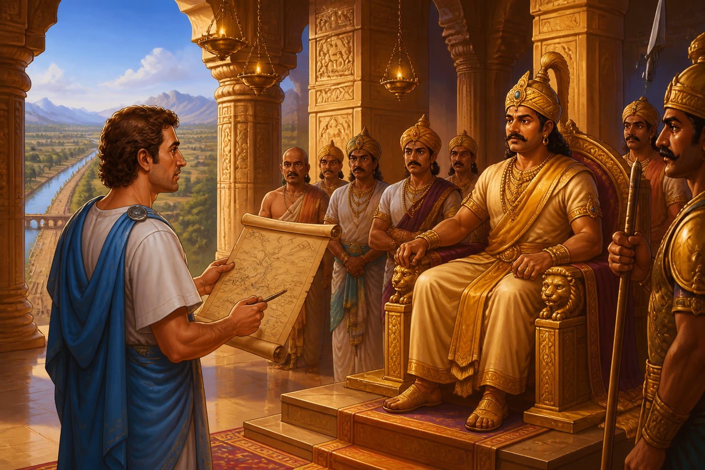
Megasthenes, the Greek ambassador to Chandragupta's court (c. 302 BCE), left detailed descriptions of the Uttarapatha:
"The Indians have officials appointed whose duty it is to superintend the rivers, measure the land, and have charge of the sluices by which water is let out from the main canals into their branches, so that everyone may have an equal supply of it. The same officials have charge of the roads, and at every ten stadia set up a pillar to show the byroads and distances."
This systematic infrastructure management impressed even the Greeks, heirs to Alexander's conquests. Megasthenes noted that the Mauryan road system exceeded anything he had seen in Persia or Greece.
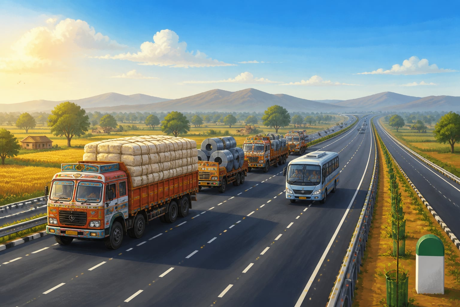
The Grand Trunk Road: A Modern Echo
The Grand Trunk Road (GT Road) that still stretches across North India follows almost exactly the same route as the ancient Uttarapatha. Sher Shah Suri rebuilt and systematized it in the 16th century; the British further developed it; independent India made it a national highway.
This 2,500-year continuity isn't coincidence. Geography dictates optimal routes. The Gangetic plain, the passes through the Aravalli hills, the crossings of the Indus tributaries, these natural features channel traffic along predictable paths.
Driving the GT Road today, you traverse terrain that Chandragupta's armies marched, that Buddhist pilgrims walked, that Mughal caravans traveled. The trucks carrying goods from Delhi to Peshawar follow wheel ruts worn deep over millennia.
Modern Infrastructure: NH44 and Bharatmala
India's National Highway 44 (NH44), running from Srinagar to Kanyakumari, represents the modern evolution of the ancient Uttarapatha concept. At 3,745 kilometers, it's the longest highway in India.
The Bharatmala Pariyojana, launched in 2017, aims to create 65,000 km of national highways, explicitly connecting economic corridors and border areas. The philosophy echoes ancient principles: connect production centers to markets, enable efficient goods movement, integrate peripheral regions into the national economy.
Finance Minister Nirmala Sitharaman's budget allocations for highway development, Rs 10 lakh crore+ over five years, represent the same state investment in trade infrastructure that characterized Mauryan administration.
The Logistics Revolution
Ancient merchants along the Uttarapatha developed sophisticated logistics:
Weight Standardization: The Arthashastra specified standard weights (pala, karsha, dharana) that would be honored from Pataliputra to Bactria. A merchant could calculate transportation costs knowing exactly what a "cart-load" meant.
Journey Time Calculation: Professional merchants knew that a laden bullock cart covered approximately 8 kilometers per day. A caravan from Pataliputra to Takshashila took 3-4 months. This predictability enabled complex supply chain planning.
Seasonal Planning: The road was impassable during monsoons when rivers flooded. Trade concentrated in two seasons: post-monsoon (October-February) and pre-monsoon (March-June). Merchants timed purchases and sales to these windows.
Your Turn
The Uttarapatha demonstrates that infrastructure creates commerce. The road didn't exist because trade demanded it; trade flourished because the road enabled it. Chandragupta's investment in highways paid returns for centuries.
Modern India's infrastructure push, highways, railways, airports, ports, follows the same logic. The PM Gati Shakti National Master Plan explicitly aims to reduce logistics costs from 14% of GDP to 8-10%, bringing India closer to global efficiency standards.
Consider your own infrastructure: the systems, relationships, and capabilities that enable your productive activity. Are you investing in your personal "Uttarapatha", the connections and capacities that will pay returns for decades?
Infrastructure as enabler of economic growth, investments that create conditions for private productivity.
The American Interstate Highway System (1956) and China's expressway network demonstrate how infrastructure investment precedes industrial development and commerce expansion.
India understood this relationship two millennia before development economics formalized it. The Arthashastra's detailed infrastructure specifications show systematic thinking about enabling commerce.
Studies show that 1% increase in road infrastructure correlates with 0.5-0.8% increase in regional GDP. The Uttarapatha's 2,500 km enabled the Mauryan economy that supported 30+ million people.
Standards as network goods, the value of a standard increases as more people adopt it.
Container shipping revolutionized global trade by standardizing cargo units. The internet works because protocols are standardized. Standards enable scale.
Verses
राजमार्गं चतुर्दण्डमायतं कारयेत्।
rāja-mārgaṃ catur-daṇḍam-āyataṃ kārayet |
The royal road should be made four danḍa (approximately 12 meters) wide.
Infrastructure standards reduce transaction costs. When every merchant knows road widths are consistent, they can invest in standardized carts. Standardization creates efficiency gains across the entire system.
Arthashastra, Book 2, Chapter 4 (R.P. Kangle)
पन्थानं शुद्धं रक्षेत् राजा प्रजाहिताय च।
panthānaṃ śuddhaṃ rakṣet rājā prajā-hitāya ca |
The king should protect and maintain the roads for the welfare of his subjects.
Public infrastructure is a public good. Private markets tend to under-provide roads because benefits accrue to all users while costs fall on investors. State provision solves this collective action problem.
Arthashastra, Book 2, Chapter 21 (L.N. Rangarajan)
Key figures
Chandragupta Maurya
Founder of the Mauryan Empire who used the Uttarapatha to unite most of the Indian subcontinent and established systematic road administration. · c. 340-298 BCE
Nitin Gadkari
Union Minister of Road Transport and Highways who has overseen India's largest-ever highway development program, explicitly connecting modern infrastructure to ancient trade routes. · Contemporary (b. 1957)
Darius I (Darius the Great)
King of the Achaemenid Persian Empire who built the Royal Road, a 2,700 km highway from Susa (Persia) to Sardis (Turkey) that enabled rapid communication and commerce across his vast empire. · 550-486 BCE
Case studies
PM Gati Shakti: Digital Uttarapatha for the 21st Century
In October 2021, Prime Minister Narendra Modi launched the PM Gati Shakti National Master Plan, a Rs 100 lakh crore ($1.2 trillion) infrastructure initiative designed to transform India's logistics ecosystem. The plan's central innovation wasn't just the money; it was the approach. For decades, India's infrastructure suffered from 'siloed planning': railways planned routes without consulting road authorities; ports were built without connecting highways; industrial corridors lacked last-mile connectivity. The result was logistics costs of 14-18% of GDP, nearly double that of developed economies. Gati Shakti created an integrated GIS platform where 16 ministries, roads, railways, shipping, aviation, telecom, power, could see each other's projects and plan synchronously. A new port could be aligned with the railway line being built nearby; an industrial park could be sited where road, rail, and power infrastructure converged.
The Arthashastra's infrastructure philosophy emphasized integration: roads connected to waypoints connected to water sources connected to security posts. The Mauryan state didn't build roads in isolation, they built systems. Modern India had forgotten this wisdom. Gati Shakti represents its recovery. The dharmic principle at work is 'sangama', confluence. Just as sacred geography recognizes the power of river confluences, economic geography recognizes the power of infrastructure convergence. Conventional infrastructure planning asks: 'What do we need?' Dharmic infrastructure planning asks: 'How does this connect to everything else?' The Uttarapatha succeeded because it was designed as a network, not a road. Gati Shakti applies this network thinking to modern infrastructure.
By 2024, Gati Shakti had identified and resolved over 500 infrastructure coordination issues that would have caused delays and cost overruns. The Delhi-Mumbai Industrial Corridor, under Gati Shakti coordination, progressed faster than any previous mega-project. The platform's real achievement is changing how bureaucracies think. Previously, each ministry optimized its own projects; now they optimize the network. Logistics costs are projected to fall to 9-10% of GDP by 2030, savings worth $100+ billion annually. More importantly, Gati Shakti creates infrastructure that compounds. When road, rail, and port align, each makes the others more valuable. This is the Uttarapatha principle: infrastructure creates commerce, which funds more infrastructure, which creates more commerce.
Infrastructure's value lies in connectivity, not isolation. A road to nowhere is worthless; a road that connects production to markets transforms economies. Gati Shakti applies ancient network wisdom to modern planning, proving that the Uttarapatha's design principles scale to the 21st century.
PM Gati Shakti's digital coordination platform addresses the same problem that plagues infrastructure globally: siloed planning. The World Bank estimates that poor logistics coordination costs developing countries 10-15% of GDP annually. Integrated digital planning is the modern equivalent of centrally planned ancient highway networks.
Gati Shakti's integrated platform coordinates 1,200+ infrastructure layers across 16 ministries. India's logistics ranking improved from 44th (2018) to 38th (2023) globally, with further improvement expected as Gati Shakti projects complete.
Sher Shah Suri: The Afghan Who Rebuilt India's Roads
In 1540, Sher Shah Suri, an Afghan soldier who had risen to become Emperor of North India, faced a crumbling infrastructure. The grand roads of the Sultanate period had decayed during decades of political fragmentation. Merchants complained of impassable routes; tax revenues declined as trade contracted; bandits flourished on unpatrolled highways. Sher Shah ruled for only five years (1540-1545), yet his infrastructure achievements outlasted empires that followed him. He rebuilt and systematized the ancient Uttarapatha, renaming it 'Sadak-e-Azam' (the Grand Road), later known as the Grand Trunk Road. His system was comprehensive: the road was widened and paved with brick in sections; caravanserais (sarais) were built every 10-15 km; shade trees (many still standing today) were planted along the route; wells and tanks provided water; guard posts protected travelers. Each sarai had separate accommodations for Hindus and Muslims, with kitchens, stables, and security.
Sher Shah's approach embodied the Arthashastra's 'seven pillars' of road infrastructure without having read the text. He intuitively understood what the ancient treatise formalized: roads require waypoints, water, security, maintenance, and standardization. Remarkably, Sher Shah, a Muslim ruler, explicitly built infrastructure for all communities. His sarais accommodated Hindu and Muslim travelers equally; his roads served merchants regardless of religion. This dharmic approach to governance, serving all subjects, created trust that made the road system work. The contrast with earlier Sultanate rulers is instructive. Rulers who discriminated in infrastructure (taxing Hindu traders higher, for example) saw merchants avoid their territories. Sher Shah's inclusive approach attracted commerce and generated revenue that funded further development.
The Grand Trunk Road became the spine of Indian commerce for 400 years. The Mughals inherited and maintained it; the British further developed it; independent India still uses the route as NH19 (formerly NH2). Sher Shah's sarais created a hospitality industry. Many sarai sites evolved into the towns that dot the GT Road today: Panipat, Karnal, Ambala. His tree-planting created shade corridors that are still visible along the highway. Most remarkably, Sher Shah achieved this in just five years. He understood that infrastructure must be built quickly to generate returns before political uncertainty disrupts it. His famous statement, 'The welfare of the cultivator and the merchant is the source of the state's prosperity', captured the dharmic economics his roads embodied.
Great infrastructure can be built quickly when leadership is focused. Sher Shah transformed India's road network in five years because he prioritized it absolutely. His inclusive approach, building for all communities, maximized usage and returns. The lesson for modern infrastructure: speed and inclusivity matter as much as money.
Sher Shah's sarais anticipated the modern highway service station model. The US Interstate Highway System's rest stops, Japan's 'michi-no-eki' roadside stations, and China's service areas all serve the same purpose: making long-distance travel safe and predictable so commerce can flow.
Sher Shah built over 1,700 sarais along his road network in just five years. The GT Road he created remained India's primary highway for 400+ years, making his per-year infrastructure output among the highest in pre-modern history.
Historical context
6th century BCE - 19th century CE
The Uttarapatha remained India's most important land trade route for over two millennia, under Mauryan, Kushan, Gupta, Delhi Sultanate, Mughal, and British administration.
The Persian Royal Road and Roman road system provided similar continental connectivity. The Uttarapatha predated Roman roads and rivaled Persian infrastructure in sophistication.
The modern Grand Trunk Road (NH1/NH2) still follows 80%+ of the ancient Uttarapatha route, testament to how geography determines optimal paths.
Infrastructure investment remains central to economic development. India's modern highway programs explicitly invoke the Uttarapatha precedent.
Living traditions
- GT Road Trucking Culture: Millions of truck drivers traverse the Grand Trunk Road daily, continuing 2,500 years of overland trade. Trucking communities maintain traditions of roadside dhabas, driver networks, and informal credit systems.
- Trade Corridor Development: Government infrastructure projects like Bharatmala and Gati Shakti explicitly study ancient trade route patterns to optimize modern economic corridors.
- Grand Trunk Road Historic Sections: Historic sections of the GT Road with Mughal-era structures, including caravanserais and milestones.
- Pataliputra Archaeological Site: Remains of the ancient Mauryan capital, eastern terminus of the Uttarapatha.
- Mahavir Mandir, Patna: One of India's most visited Hanuman temples, located in Patna - the ancient Pataliputra that served as the eastern terminus of the Uttarapatha. The temple continues to serve travelers and traders.
- Golden Temple (Harmandir Sahib): While a Sikh gurdwara, it sits on the historic Uttarapatha route and continues the tradition of providing food and shelter to travelers - the langar serving 100,000+ daily echoes ancient saraya hospitality.
Reflection
- The Uttarapatha persisted for 2,500 years because geography determines optimal routes. What 'geographical' constraints, physical, social, or technological, determine optimal paths in your field? How might you position yourself on those paths?
- The Mauryans invested heavily in seven pillars of road infrastructure. What are the 'seven pillars' of your professional infrastructure? Which are well-developed? Which need investment?